|
|
|
We
went on another guided walk today. I’d been dubious about whether I would be
fit enough. However I slept round the clock and seemed to sweat out a lot of the
cold and awoke feeling much better. We
took the skilift out of Campitello – it seemed strange that we had waited so
long to take our local one. We probably would have gone up it before but we knew
that this was the planned walk for today and so we walked elsewhere earlier in
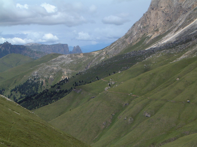
the week. The
lift goes to Col Rodello. This (like several lifts) seems to be perched on high
ground so that the only way is down. The main path goes down one flank of
Sassolungo to the Sella Pass. This is a 600 ft drop. However we turned off left
after about 200 ft of descent and took the contour path along the other flank of
Sassolungo. This
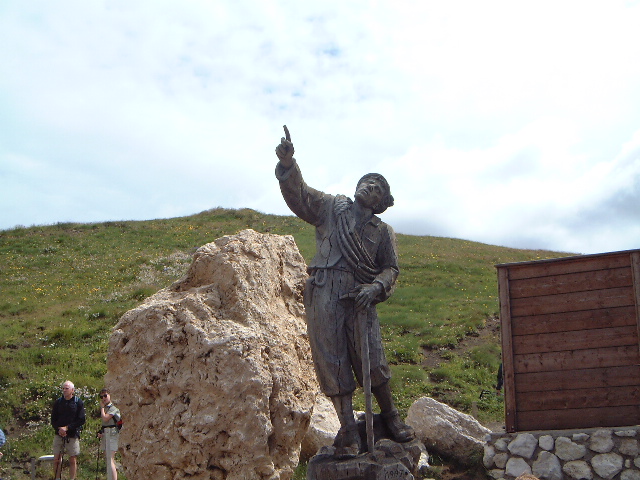
is the Friedrich August Way. There is a statue of him at the first refuge. It
gives his dates (late nineteenth/early twentieth centuries) and described him as
being a king and mountain climber. That puzzled me. I thought he would have been
an Austrian but they had an emperor, not a king. Also the name was wrong; Franz
Josef rules from 1848 to the middle of the First World War. He was succeeded by
Karl (I’m pretty sure) who was deposed at the end of the war. So I banged the
name into Google and from that it seems he was King of Bavaria (no doubt deposed
on German unification which might be why he was able to go off climbing
mountains). The
path wanders along for a couple of miles and bursts of up and down, with the odd
scrambly bit. It gives another angle on the Val di Fassa which was good. However
the weather was worsening and the rain had started by the time which got to the
col. This was nasty, cold, British rain so we tried to take shelter at the
refuge. However it was packed – it does stand at the meeting point of several
paths so we ended up sheltering under the eaves. Fortunately
it had stopped by the time we needed to continue. We were now on a descending
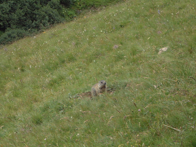
path and we turned off this down a valley. This was marmot territory. Helen the
guide reckoned that they got regular sightings. Sure enough we hadn’t gone far
when we saw a family group of four across the stream. However slightly further
on there was one right by us. It was just over a bank and it stayed there with
us about 10 feet away – see the photo. The
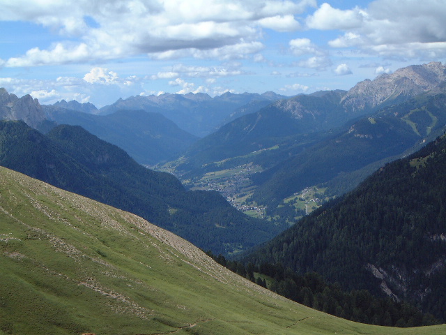
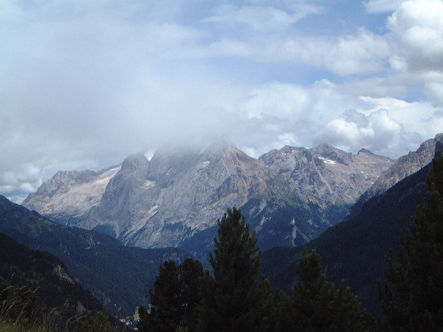
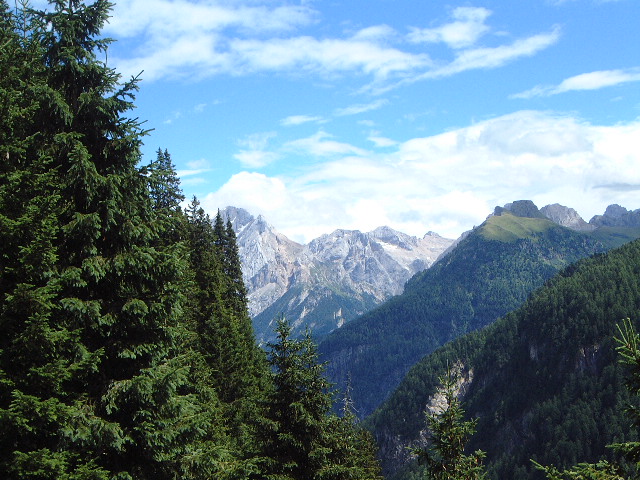
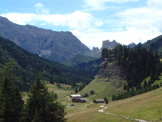
path overall was lovely and it brought us down without too much steepness (and
looking at Marmolada for much of the way) into the Douron Valley. This is the
river which reaches the Val di Fassa at Campitello. The valley looked gorgeous
in the sunshine with the craggy peaks of the Rosengarten right at its head. There
is a rough track right up the valley but we crossed the river to walk through
woodlands which was much more enjoyable. It
re-emerged on the track by a bar. One couple said they had been there before and
were going to stop for a drink. I was amazed that Beryl and I were the only ones
to stay with them. I thought I’d earned a beer. They were both teachers so we
had a good natter to them beofre returned to Campitello (which wasn’t far)
|
|